Browse
Places
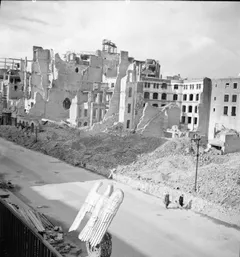
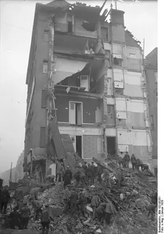
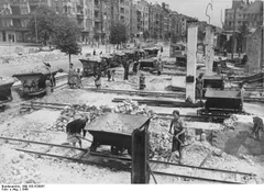
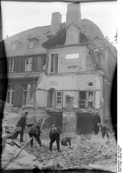
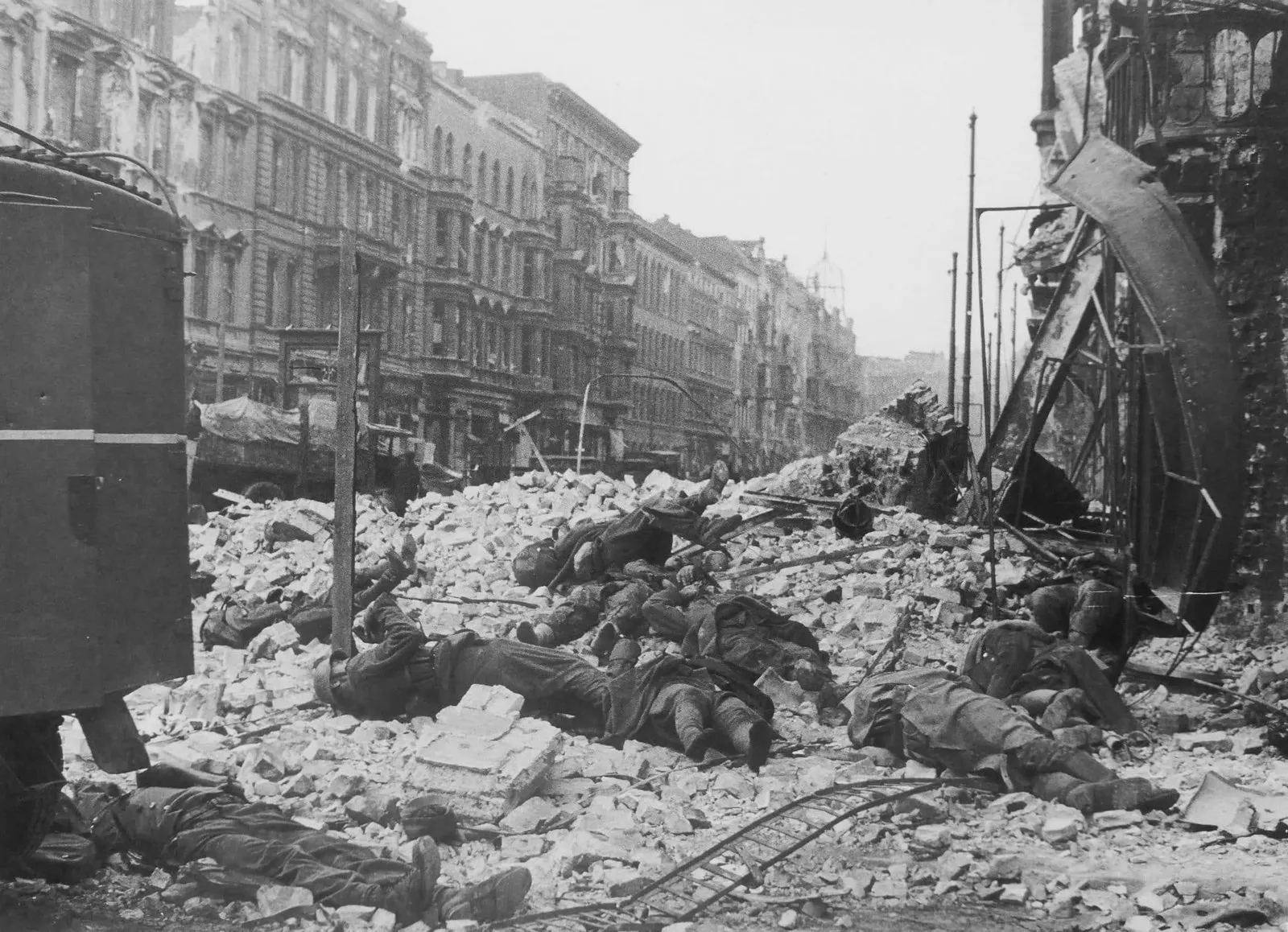
The bodies of dead German soldiers on a pile of stones on Friedrichstrasse in Berlin rights unverified
59 places, ordered by distance from the Reichstag — the site's own measure of the advance. Open the map →
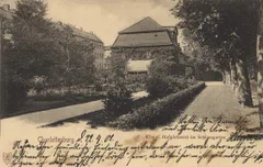
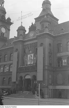
50 of 59 carry an archive image from 1946 or earlier. The remaining 9 have none that cleared the rights bar and are marked no era image rather than filled with a photograph of the place as it is now.
| Image | Place | Kind | From Reichstag | Today | Days |
|---|---|---|---|---|---|
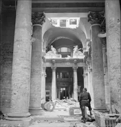
| Reichstag Mitte image 1945 | building | 0 km | altered | 11 | |
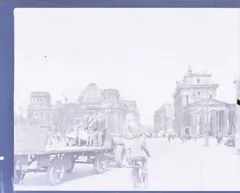
| Brandenburg Gate Mitte image 1945 | building | 0.28 km | altered | 5 | |
| Defence Sector Z (Zitadelle) Mitte | defence-sector | 0.55 km | altered | 8 | |
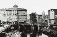
| Moltke Bridge Mitte image 1889 | bridge | 0.61 km | altered | 2 | |
| Tiergarten Mitte image 1945 | district | 0.67 km | altered | 8 | |
| Führerbunker Mitte image 1945 | building | 0.72 km | destroyed | 13 | |
| Reich Chancellery Mitte image 1945 | building | 0.87 km | destroyed | 9 | |
| Weidendammer Bridge Mitte image 1881 | bridge | 0.91 km | standing | 1 | |
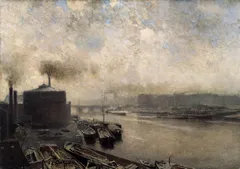
| River Spree image 1893 | waterway | 0.94 km | standing | 10 | |
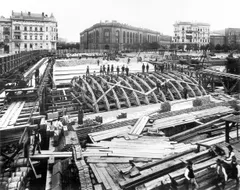
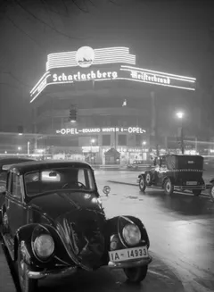
| Potsdamer Platz Mitte image 1918 | square | 1.07 km | altered | 5 | |
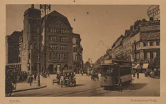
| Wilhelmstraße Mitte image 1939 | street | 1.19 km | altered | 5 | |
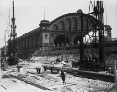
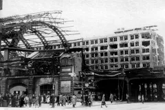
| Anhalter Bahnhof Kreuzberg image 1935 | station | 1.77 km | ruin | 4 | |
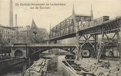
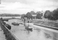
| Landwehr Canal image 1900 | waterway | 2.31 km | standing | 5 | |
| Alexanderplatz Mitte image 1945 | square | 2.56 km | altered | 7 | |
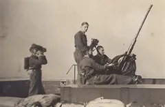
| Zoo Flak Tower Tiergarten image 1943 | building | 2.89 km | destroyed | 6 | |
| Moabit Mitte image 1942 | district | 3.32 km | altered | 3 | |
| Kurfürstendamm Charlottenburg image 1935 | street | 4.72 km | altered | 3 | |
| Hermannplatz Neukölln image 1900 | square | 4.8 km | altered | 1 | |
| Karstadt, Hermannplatz Neukölln image 1921 | building | 4.85 km | destroyed | 1 | |
| Charlottenburg image 1945 | district | 5.15 km | altered | 7 | |
| Defence Sector D Tempelhof | defence-sector | 5.29 km | altered | 1 | |
| Tempelhof Airport Tempelhof image 1925 | building | 5.29 km | standing | 9 | |
| Charlottenburg Palace Charlottenburg image 1902 | building | 5.44 km | altered | 1 | |
| Landsberger Allee Friedrichshain image 1928 | street | 5.49 km | altered | 2 | |
| Pankow image 1946 | district | 5.58 km | altered | 4 | |
| Reinickendorf image 1896 | district | 6.08 km | altered | 1 | |
| Neukölln image 1914 | district | 6.36 km | altered | 1 | |
| Defence Sector C Neukölln | defence-sector | 6.36 km | altered | 1 | |
| Frankfurter Allee Friedrichshain image 1946 | street | 6.92 km | altered | 4 | |
| Treptow image 1899 | district | 7.97 km | altered | 2 | |
| Defence Sector A Lichtenberg | defence-sector | 8.18 km | altered | 1 | |
| Lichtenberg image 1896 | district | 8.54 km | altered | 3 | |
| Dahlem Zehlendorf image 1928 | district | 9.02 km | standing | 1 | |
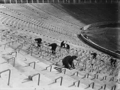
| Olympic Stadium Charlottenburg image 1936 | building | 9.26 km | standing | 4 | |
| Defence Sector B Karlshorst | defence-sector | 10.99 km | altered | 1 | |
| Spandau Citadel Spandau image 1850 | building | 11.34 km | standing | 1 | |
| Teltow Canal image 1906 | waterway | 11.4 km | standing | 4 | |
| Defence Sector E Zehlendorf | defence-sector | 12.39 km | altered | 1 | |
| Spandau image 1911 | district | 12.41 km | altered | 5 | |
| River Havel image 1925 | waterway | 14.79 km | standing | 5 | |
| Gatow Airfield Spandau image 1939 | building | 16.85 km | altered | 2 | |
| Potsdam image 1850 | settlement | 25.15 km | standing | 10 | |
| Oranienburg image 1942 | settlement | 27.85 km | standing | 2 | |
| Sachsenhausen concentration camp image 1945 | settlement | 28.58 km | altered | 3 | |
| Zossen image 1914 | settlement | 33.94 km | ruin | 3 | |
| Ketzin image 1931 | settlement | 36.4 km | standing | 1 | |
| Müncheberg image 1941 | settlement | 51.71 km | standing | 9 | |
| Carinhall image 1938 | building | 57.23 km | destroyed | 1 | |
| Seelow Heights image 1945 | terrain | 68.03 km | standing | 10 | |
| Ravensbrück concentration camp image 1945 | settlement | 75.93 km | altered | 1 | |
| River Oder image 1945 | waterway | 85.73 km | standing | 8 | |
| Küstrin image 1944 | settlement | 87.6 km | ruin | 2 | |
| Cottbus image 1930 | settlement | 106.56 km | standing | 2 | |
| Torgau image 1855 | settlement | 109.53 km | standing | 1 | |
| River Neisse image 1855 | waterway | 125.37 km | standing | 4 | |
| Bautzen image 1885 | settlement | 165.19 km | standing | 2 | |
| Defence Sector F | defence-sector | — | — | 0 | |
| Defence Sector G | defence-sector | — | — | 0 | |
| Defence Sector H | defence-sector | — | — | 0 |