District
Reinickendorf
- From the Reichstag
- 6.08 km
- Today
- Survives, altered
- Appears on
- 1 day
- Wikidata
- Q158876
52.5667° N, 13.3333° E position district-level Open on the map →
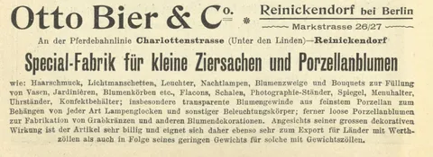
Reinickendorf.
In the day-by-day account
In the acquired archive 98
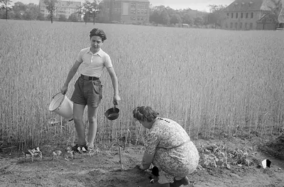
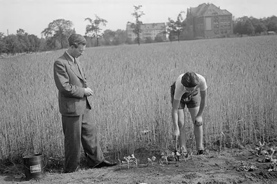
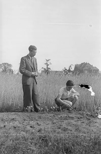
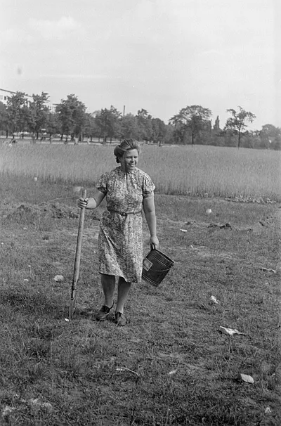
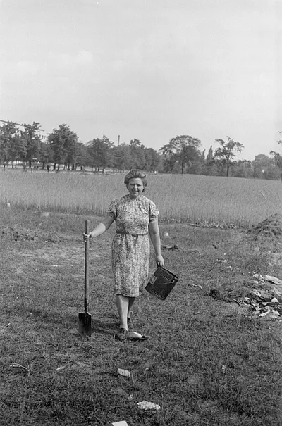
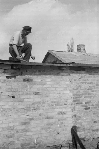
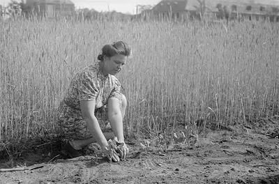
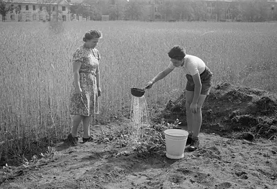
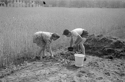
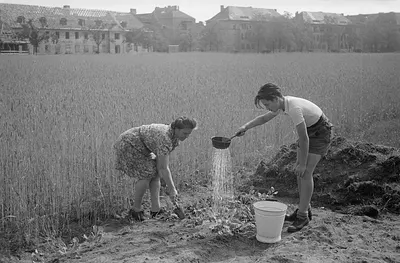
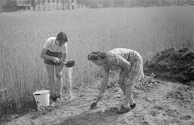
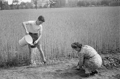
98 items are catalogued under this name — none named in an item title, the rest carried as an index term by the institution that holds them. A name in a catalogue is not a statement about what a photograph shows.
3 of the 98 are a staged reconstruction or a modern work about the battle rather than a photograph taken during it. They are marked, and they sort after the wartime material.

Showing 12 of 98. Search the archive for Reinickendorf →