Map of the Major Administrative Divisions of Greater Germany
Map US National Archives 1840 Public domain Map sheet
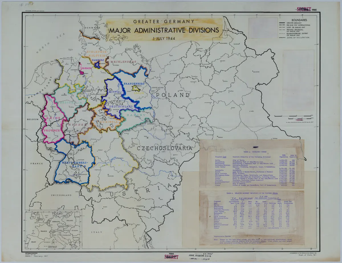
A revised map titled "Greater Germany: Major Administrative Divisions, July 1, 1944." The map shows the boundary lines of Greater Germany, pre-war 1937 international boundaries, zones of occupation, land, provincial, regional, and district boundaries, and the Oder-Neisse Line. Divisions of Germany have been differentiated by colored markers. Two tables, glued to the map, give geographic, demographic, and economic data of each division. The inset of Europe shows international boundaries as of 1937.
Rights
NARA useRestriction: Unrestricted
as published by US National Archives
NARA states "Unrestricted" for this item. That record group is not on the confirmed US-Government list, so the basis is NARA’s own per-item statement rather than 17 U.S.C. 105.
Attribution line
35th Division Association · Map of the Major Administrative Divisions of Greater Germany · US National Archives · Public domain
- Held by
- US National Archives
- Collection
- World War II Files
- Local identifier
- M649
- Creator
- 35th Division Association
- Date as recorded
- 1840
- Medium
- Map
- Depicts
- Map sheet
- Hosting
- hosted
- Catalogued
- 2026-09-21
World War, 1939-1945