Schadenskarte Charlottenburg 1945
Photograph Wikimedia Commons 2016-12-08 11:18:14 Public domain
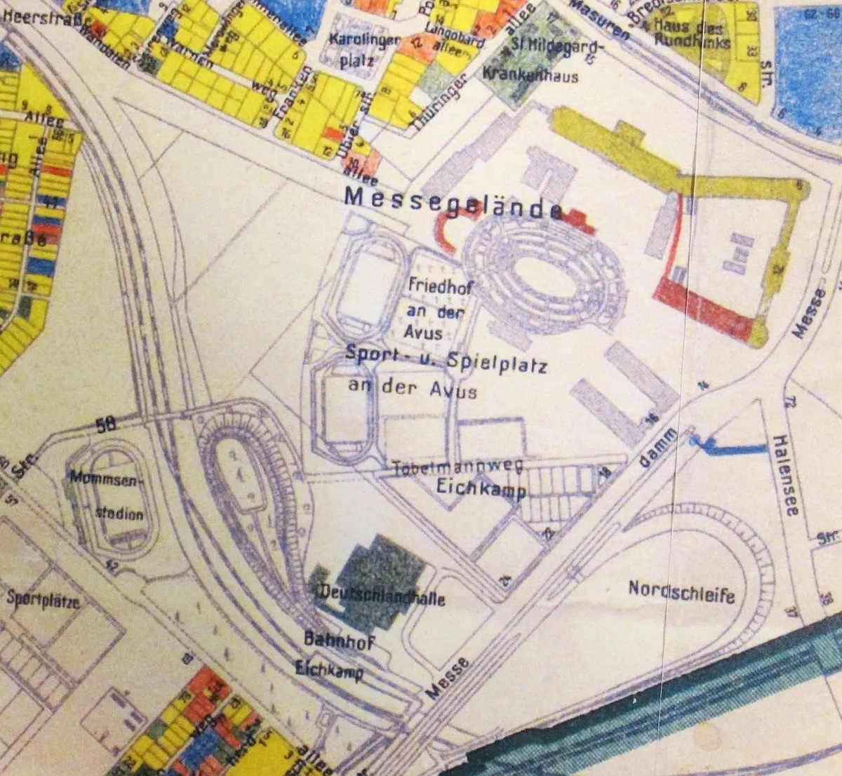
Der Friedhof Eichkamp (hier mit der Bezeichnung: Friedhof an der Avus) auf der Schadenskarte des Verwaltungsbezirks Charlottenburg. Stand 1945, Ausgabe 1952
Rights
Public domain
as published by Wikimedia Commons
The repository publishes this item as Public domain, crediting Stadtplan von Berlin Verwaltungsbezirk Charlottenburg Schadensplan Stand 1945 Ausgabe 1952. Public domain per the item’s own record.
Attribution line
Stadtplan von Berlin Verwaltungsbezirk Charlottenburg Schadensplan Stand 1945 Ausgabe 1952 · Schadenskarte Charlottenburg 1945 · Wikimedia Commons · Public domain
- Held by
- Wikimedia Commons
- Creator
- Stadtplan von Berlin Verwaltungsbezirk Charlottenburg Schadensplan Stand 1945 Ausgabe 1952
- Date as recorded
- 2016-12-08 11:18:14
- Medium
- Photograph
- Hosting
- hosted
- Master
- 1302 × 1200 · 1.1 MB
- Catalogued
- 2026-09-14
PD Germany1945 in Berlin-CharlottenburgBomb damage mapsMaps of bombings in World War II
